Virtual October Pacific Islands Climate Outlook Forum (PICOF-7)
Regional Climate Outlook Forums have been held annually in the Pacific since 2015, allowing face-to-face dialogue and learning between the providers and users of climate information. Pacific Islands Climate Outlook Forums (PICOF) are organized by the Pacific Meteorological Council’s (PMC) Pacific Islands Climate Services Panel (PICS Panel), its secretariat SPREP and the WMO and supported by various international and regional organisations.
A recent review of the PICOF found one PICOF a year insufficient for providing much needed information on the state of ENSO and climate/ocean outlooks. From April 2020, two PICOFs are held per year, one in April coinciding with the south west Pacific dry season (Apr-PICOF) and one in October (Oct-PICOF) at the beginning of the south west Pacific tropical cyclone and wet season. Due to limited resources (and COVID-19) a virtual Oct-PICOF was proposed for 2020.
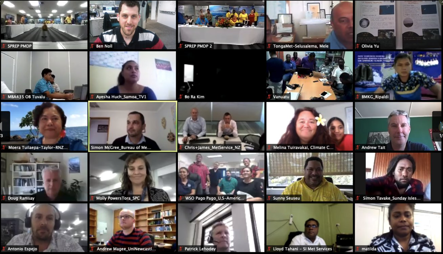
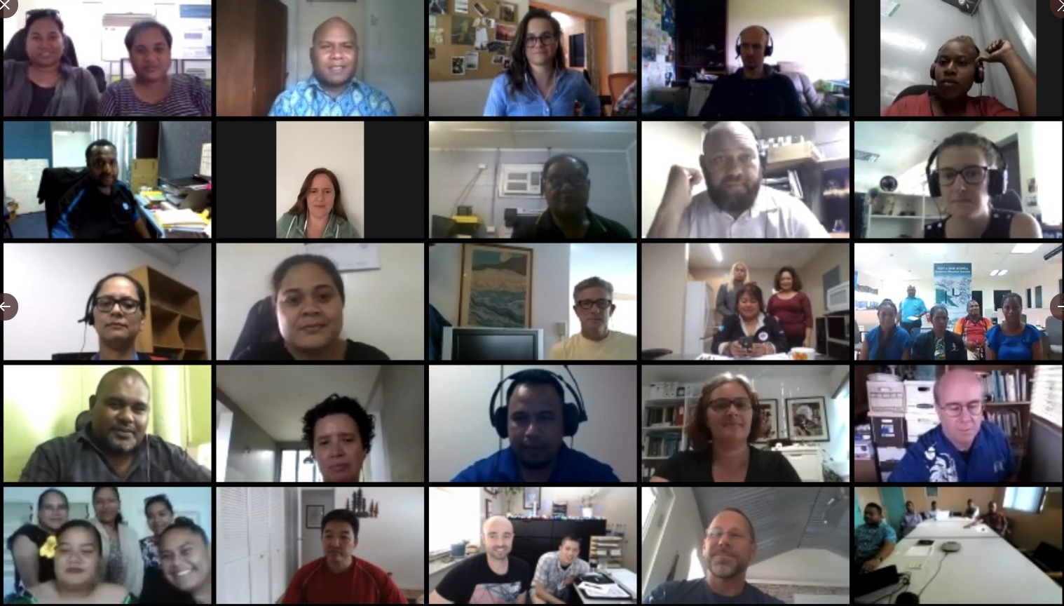
The sector theme of PICOF-7 was Fisheries and Oceans. Sector experts joined the PICOF on the second day to share case studies on linking climate services to fisheries and oceans operations and to discuss opportunities and gaps. The first day of PICOF-7 was concentrated on NMHS and seasonal prediction delivery partners’ discussion on review of the May-October 2020 climate and the climate and tropical cyclone season outlook for the coming season. Due to COVID-19, PICOF-7 was held virtually and drew on lessons from the Apr-PICOF which was also held virtually.
PICOF-7 was organised around the following objectives:
a) To present and summarise the climate and ocean observations in the last six months and model outlooks for the next six months;
b) To compare forecast guidance for the Pacific region and discuss how these are produced in terms of accuracy, utility, weaknesses and strengths;
c) To discuss how NMHSs are currently accessing and assessing the available guidance, making them nationally-relevant, tailoring them for specific end users, and disseminating them to users; and
d) To build collaboration and partnerships among NMHSs, regional organisations and scientific institutions;
e) To continue capacity building/human resource development activities for the Pacific region, particularly in seasonal prediction;
f) To provide a platform for the NMHSs to share and exchange experiences and knowledge on climate and ocean services in the Pacific region.
g) To discuss how seasonal forecast products can be relevant to fisheries and oceans sector and how NMHS can work closely with this sector
A PICOF-7 Regional Statement summarising climate and ocean conditions over the past months and seasonal outlook November 2020 - April 2021 (including tropical cyclone outlook) was produced as an output.
Summary of Regional Statement
Outlook for November 2020 to April 2021
- The El Niño-Southern Oscillation (ENSO) is currently in its cold phase, La Niña, which is predicted to continue through at least early 2021 after a peak during December 2020.
- There is a possibility that this La Niña event could become strong, similar to 2010-11.
- Tropical cyclone activity is expected to be near normal or slightly below normal in the Southwest Pacific.
- There is the potential for elevated levels of tropical cyclone activity in the western part of the basin.
- Typhoon activity is expected to be normal or below normal through December in the western North Pacific, although there is an elevated risk for development into early November.
- With La Niña conditions in place, there is a strong consensus across prediction systems for precipitation and temperature outlooks.
- Rainfall is favoured to be above normal for many Pacific Islands, except for islands along and near the equatorial Pacific.
- Temperatures (air and sea) are favoured to be above normal for many Pacific Islands, except for those in the equatorial central Pacific.
- Ocean heat stress is favoured to be elevated across a large portion of the equatorial West Pacific, particularly near Papua New Guinea (PNG), the western Solomon Islands, the Federated States of Micronesia (FSM), and the Republic of the Marshall Islands (RMI).
- Coral bleaching alerts and warnings are in place in the western North Pacific, including PNG, the Solomon Islands, and parts of FSM.
- Sea levels are favoured to be above normal from PNG to the Pitcairn Islands, including many island groups in between. The largest anomalies are predicted between Tuvalu and the Solomon Islands. Sea levels are also favoured to be above normal from the RMI to Palau in the North Pacific. These countries need to be aware of the potential for coastal flooding especially during King tides and the passage of a tropical disturbance (e.g. cyclone)
- The potential for landslides and river flashing is higher than normal this coming wet season in the south Pacific, especially when a tropical disturbance follows a prolonged period of wetter than normal conditions.
Climate since May 2020
- The ENSO state has transitioned to La Niña since the last PICOF held in April 2020.
- Significant rainfall deficiencies occurred across the equatorial Pacific from north of New Guinea through Nauru, Tuvalu, and Kiribati, the central Cook Islands, a majority of French Polynesia, the Pitcairn Islands, most of FSM, Guam, and the northern and southernmost RMI.
- Wetter than normal conditions extended from eastern PNG to Niue, including New Caledonia, Vanuatu, Fiji, Tonga, Wallis & Futuna, Samoa, American Samoa, and the southernmost Cook Islands.
- Air temperatures were warmer than normal across many Pacific Islands, from New Guinea southeast to Samoa. Cooler than normal temperatures occurred east of the Line Islands of Kiribati.
- Coral bleaching occurred in parts of the western equatorial Pacific, including Palau.
- Sea levels were higher than normal across much of the tropical Pacific, particularly for Samoa, Tuvalu, and the Solomon Islands during August.
For full Consensus Regional Statement, please click here


